No relief here: it is the sea.
Club field
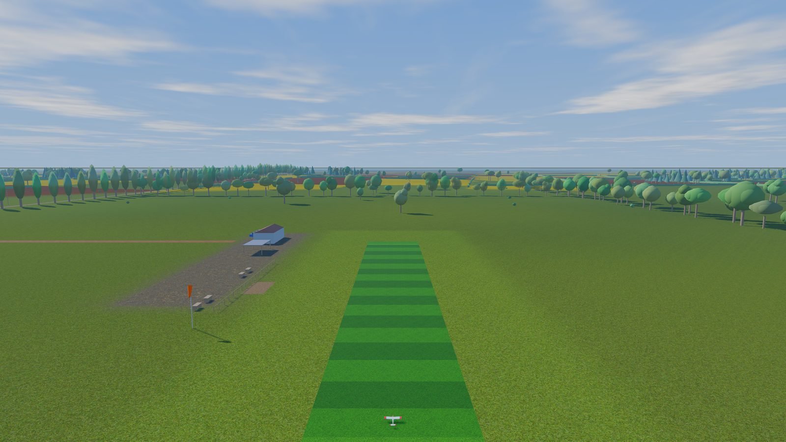
The reference field: grass runway, pilot box and pits, farmland, groves, a track and a power line, and gentle hills beyond.
- Flying area
- 2 × 2 km
- Terrain
- Procedural relief
- Start
- East–west grass runway
- Pilot
- Pilot box facing the runway, pits
- FPV race
- 6 gates on a 140 × 60 m oval
Drag to turn, pinch or scroll to zoom. The dots mark the starts.